


HDMA Education Resource
Sharing our coding efforts in the Human Dynamics Center: HDMA-SDSU in Github (The HDMA Center at SDSU focuses on incorporating geo-targeted social media data and APIs with GIS analytics to access and query data. We welcome you to utilize these technical documents, examples, and codes and encourage you to add to our efforts!): 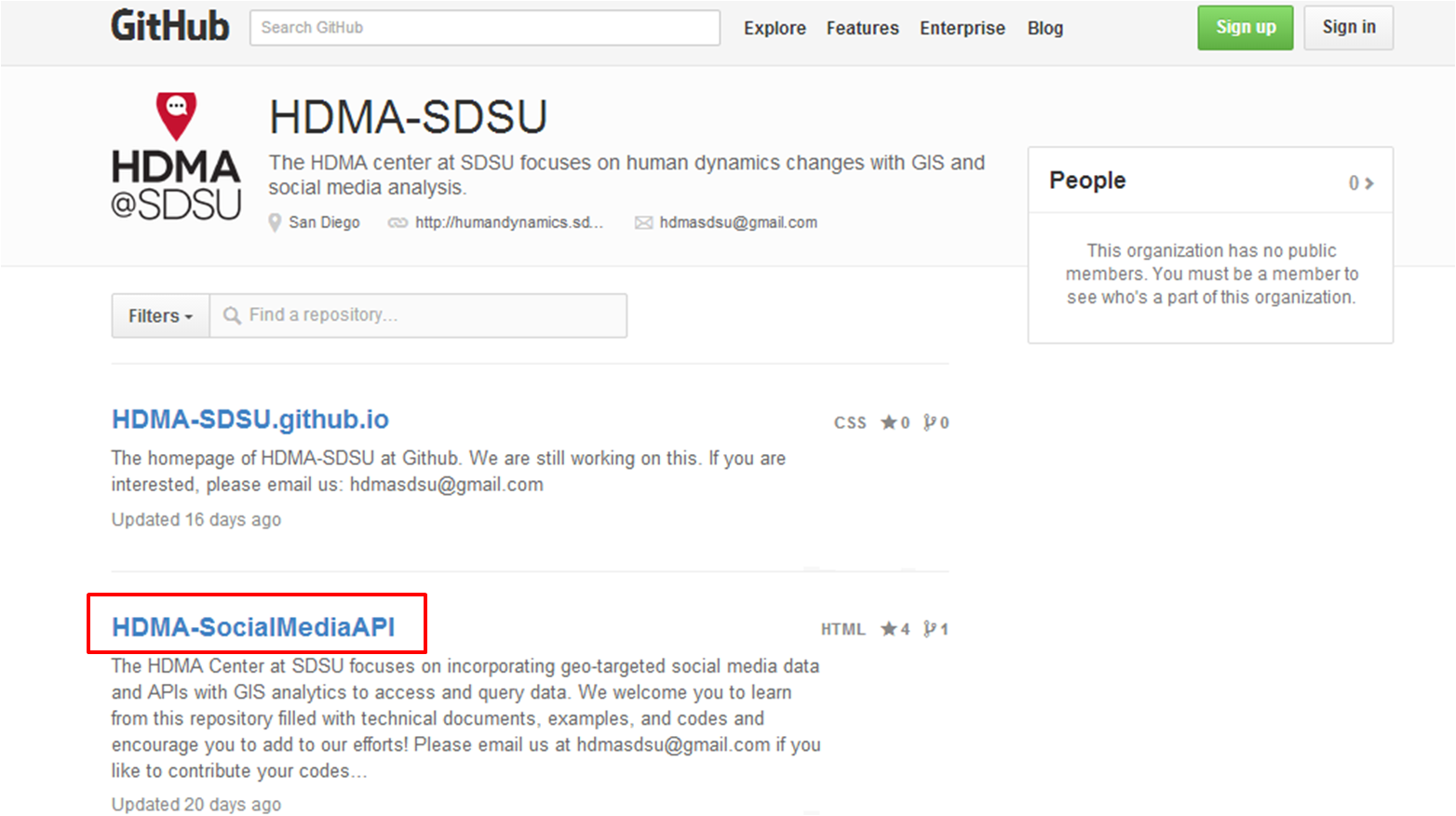
Collaborative Documents about Social Media APIs, Big Data Analysis, and FAQ: 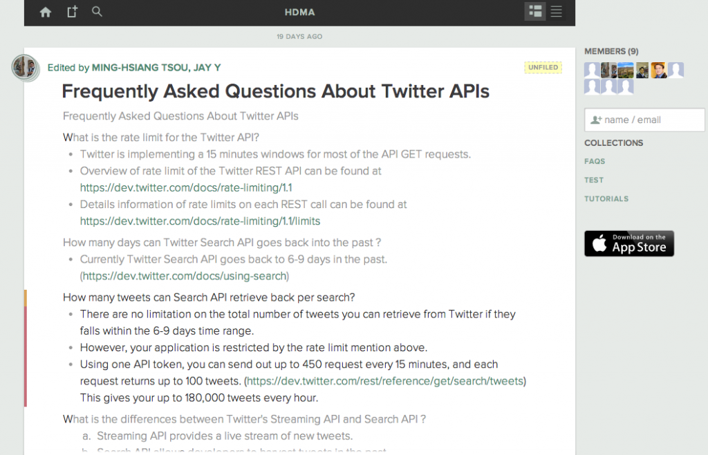
YouTube Channel for Demos and Tutorials: 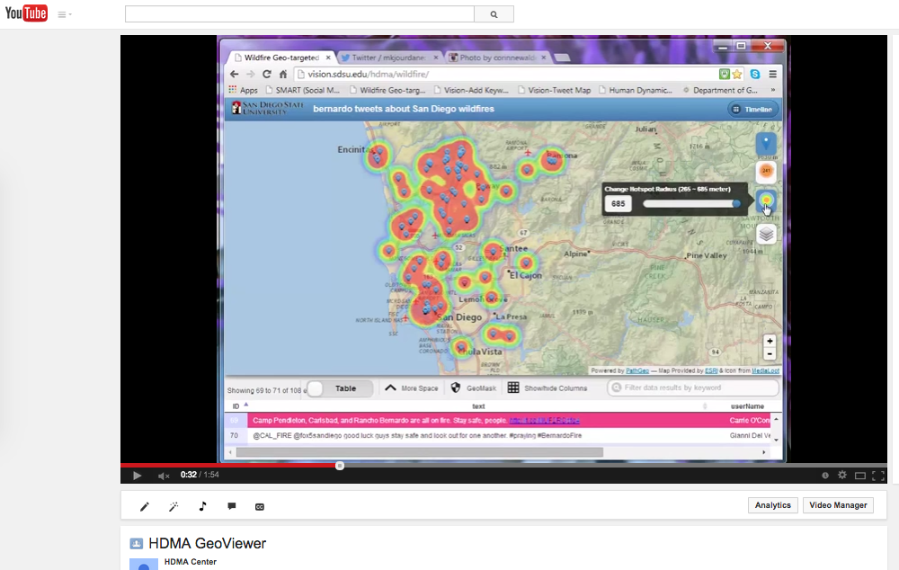
Social Media and Big Data Bibliography: 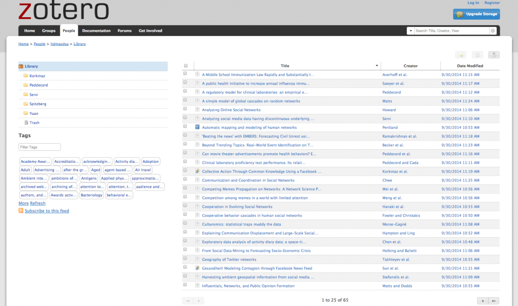
Join in our HDMA Lightning Talks Series for Presentations about Current Research Projects, Funding Opportunities, or Research Plans/Proposals: 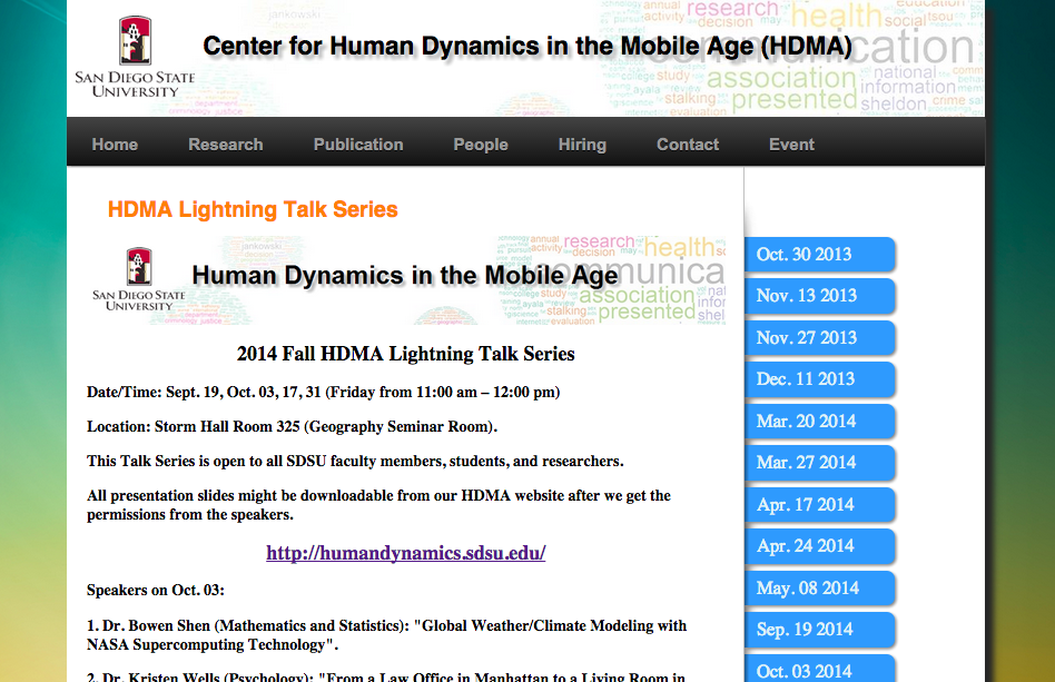
GIS Textbook for iBook on iPads: 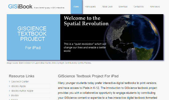
|
SDSU Research Showcases1. September 2, 2014: Dr. Ming-Hsiang Tsou (Director) received the NSF-IBSS (Interdisciplinary Behavioral and Social Science Research) Award. The project entitled: "IBSS: Spatiotemporal Modeling of Human Dynamics Across Social Media and Social Networks."(http://socialmedia.sdsu.edu/) This is a four-year award (2014-2018) for $999,887. One key contribution of this project is to build a prototype for the San Diego Office of Emergency Services (OES) social media outreach platform, which may be applicable for other U.S. cities in the future. The design of the prototype is to facilitate rapid dissemination of official alerts and warnings notifications from OES during disaster events via multiple social media channels to targeted population (typically in certain area). The platform can identify and recruit top 1000 social media volunteers based on their social network influence factors and help government agencies communicate more effectively to the public and be better prepared for both natural disasters and human-made crises. 2. 2010-2014. National Science Foundation: “CDI-Type II: Mapping Cyberspace to Realspace: Visualizing and Understanding the Spatiotemporal Dynamics of Global Diffusion of Ideas and the Semantic Web. Award # 1028177. $1,300,213. Ming-Hsiang Tsou (PI, Geography SDSU), Co-PIs: Dipak K Gupta (Political Science, SDSU), Jean Marc Gawron (Linguistics, SDSU); Brian Spitzberg (Communication, SDSU), Senior Personnel: An Li (Geography). (http://mappingideas.sdsu.edu/) This NSF-CDI project integrates GIS, computational linguistics, web search engines, and social media API to track and analyze public-accessible websites and tweets for visualizing and analyzing information landscapes of ideas in cyberspace. 3. IBACH (The Institute for Behavioral and Community Health) investigators currently have approximately $10 million per year in funding from NIH, the CDC, -and other funding agencies, with many of our projects including important spatial science and GIS elements. Dr. John Elder is the Director of IBACH. New initiatives by our core investigators Elva Arredondo, Suchi Ayala, Linda Gallo, and others will depend on GIS and mobile technology. IBACH's CDC-funded multi-site intervention trial to prevent and control childhood obesity in Imperial County (led by Suchi Ayala) includes a spatial component. The multi-site Hispanic Community Health Study/Study of Latinos (led by Greg Talavera at the San Diego site) prospective cohort study of 16,000 individuals of Latino descent would provide an excellent opportunity to pursue questions regarding social and physical environmental influences on health and health behaviors, in an at-risk and understudied population. 4. Dr. Sheldon Zhang is currently Co-Principal Investigator of a study funded by the National Science Foundation that examines the spatial and structural processes of social order maintenance in Tianjin, China (a municipality with about 13 million residents). A stratified multistage sampling is currently being carried to obtain a sample of 2,500 residents from 50 neighborhoods across the city to explore how crime and social-disorderly activities are distributed, perceived, and managed. The study seeks to understand the structural and interstitial relationships among different social control agents, e.g., police, neighborhood committees (a form grass-root government agency), private security companies, homeowner associations, and private citizens. 5. 2007-2013. National Institute of Child Health and Human Development: Health, Poverty and Place: Modeling Inequalities in Accra Using Remote Sensing and GIS, $2,500,000 , John Weeks (PI, Geography SDSU). Co-PI - Allan Hill (Public Health, Harvard), Co-PI - Arthur Getis (Geography SDSU), Co-PI - Douglas A. Stow (Geography SDSU), Collaborator: Stephanie Brodine (Public Health, SDSU). 6. 2011-2014. National Academy of Science’s Transit Cooperative Research Program (NAS/TCRP project H-45: Livable Transit Corridors: Methods, Metrics and Strategies, $400,000.) Dr. Bruce Appleyard (Public Affairs) is helping lead a nation-wide geo-spatial analysis of transit corridors, examining social, economic, and environmental opportunities and outcomes resulting from various policy and design decisions. This work includes analysis of station area planning, transit service and market segment analysis, and the emerging field of sustainability/accessibility planning. Bruce is also helping guide various planning and policy and design decision through the development of GIS-based decision support tools and frameworks. |